All Routes
Nacional Monument Alerce Costero
Walk overview
Walk details
La Union to Mashue
- La Union buses and route information
- Trumao Junction
- Pilpilcahuin to Mashue
- Mashue: start of the Alerce Costero section of the hike


 |
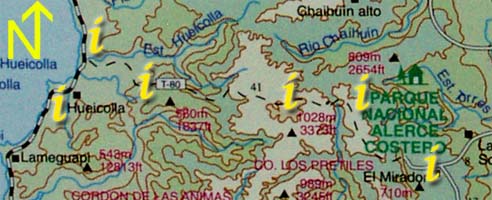
Section 2: Click on the "i"s above for information and photos of the route. |
 |


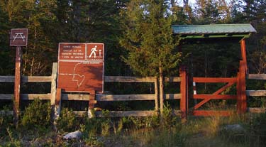
Arrival at the park is marked by a small gate and sign; 50-100 metres further on are the refugio, rangers home and lookout. The picnic area through the gate is clean and well maintained, as are the paths throughout the area.  When following the 'Indian rock' path be sure to take a signed split to the right that looks as if it has been blocked off. The main path is actually a anti-clockwise loop that returns to the picnic area and never reaches the rock. It is a worthwhile walk over clear streams, through sections of intact forest, and with views of the surrounding Alerce covered mountains.
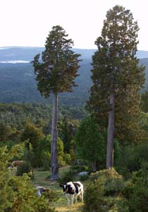
Whilst someone is taking care of the monument, they are doing it solely for the benefit of people without regard to the preservation of the remnants of the forest. The trails are easy to walk on, with boardwalk in the bog and muddy areas, but Alerce trees have been cleared to create this path, and the cows are not properly restricted from munching on the potential seedlings in this area. There is no posted information about the trees the monument is there to protect and respect, but instead the signs have details on park regulations, and 'milemarkers' have been installed in 100 meter intervals all around the walk. Despite this, the area is a wonderful place to be and provides a glimpse of how the coast used to look prior to the heavy logging of the last century.
Camping is available here. Use of the refugio requires prior written permission from Valdivia.

| S | 40°11.699' |
| W | 73°25.993' |